Guasdualito
Guasdualito is a city and episcopal see in the landlocked Apure State, in southern Venezuela.
The city is the capital of Páez Municipality, in the Distrito Especial Alto Apure. It has an important location on the border between Venezuela and the city of Arauca in Colombia for commerce, as well as being the main petroleum center in the region.
It has a population of approximately 100,000 inhabitants per 2014.
Map - Guasdualito
Map


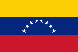
Country - Venezuela

Currency / Language
| ISO | Currency | Symbol | Significant figures |
|---|---|---|---|
| VES | Venezuelan bolÃvar | BsS. or Bs. | 2 |
| ISO | Language |
|---|---|
| ES | Spanish language |